Carrito
No hay más artículos en su carrito


Crímenes reales: descubrimientos/históricas/científicas
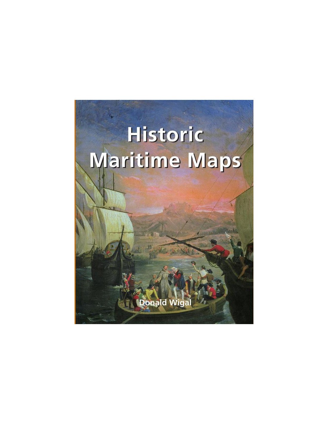
In the Middle Ages, navigation relied upon a delicate balance between art and science. Whilst respecting the customs and the precautions of their forbearers, sailors had to count on their knowledge of


